-

Field near Wood Park
-
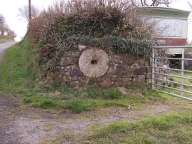
Redundant Mill stone
Field near Wood Park
Redundant Mill stone
Location and coordinates are for the approximate centre of Parcyreithin Brake within this administrative area. Geographic features and populated places may cross administrative borders.