-

Castle Loch, Lochmaben
-
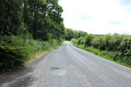
Road to Dalton near Gallows Hill
Castle Loch, Lochmaben
Road to Dalton near Gallows Hill
Location and coordinates are for the approximate centre of Pansy Plantation within this administrative area. Geographic features and populated places may cross administrative borders.