-
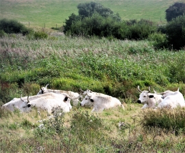
British white cattle, Pannell Valley marshes
-
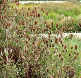
Teasel heads on Elms Farm
British white cattle, Pannell Valley marshes
Teasel heads on Elms Farm
Location and coordinates are for the approximate centre of Pannel Sewer within this administrative area. Geographic features and populated places may cross administrative borders.