-

Track on Pallington Heath
-
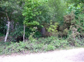
Trig Point In The Trees, Pallington Clump
Track on Pallington Heath
Trig Point In The Trees, Pallington Clump
Location and coordinates are for the approximate centre of Pallington Clump within this administrative area. Geographic features and populated places may cross administrative borders.