-
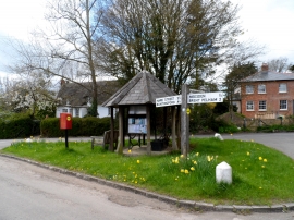
Shelter and notice board, Anstey
-
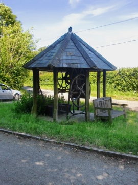
The village pump, Anstey
Shelter and notice board, Anstey
The village pump, Anstey
Location and coordinates are for the approximate centre of Pain's End within this administrative area. Geographic features and populated places may cross administrative borders.