-
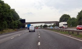
M4 westbound footbridge
-
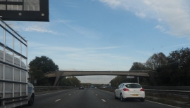
Paley Street Footbridge
M4 westbound footbridge
Paley Street Footbridge
Location and coordinates are for the approximate centre of Paddock Wood within this administrative area. Geographic features and populated places may cross administrative borders.