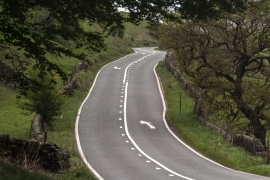
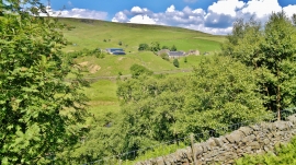
Oyster Clough, Derbyshire

« Gazetteer Entry
Upload Photo

Oyster Clough, Derbyshire

  • Parish/Community: Hope Woodlands
  • District/Borough: High Peak
  • County: Derbyshire
  • Region: East Midlands
  • Category: Geographic Feature
  • Type: Valley
  • Latitude/Longitude: 53°24'28"N 1°49'26"W
  • Eastings/Northings: 411795, 390134
  • OS Grid: SK117901
  • Mapcode Local: GBR HYP1.W2
  • Mapcode Global: WHCC5.YLKS

Location and coordinates are for the approximate centre of Oyster Clough within this administrative area. Geographic features and populated places may cross administrative borders.

BritishPlaceNames.uk is a Good Stuff website.