-
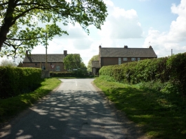
Oxton Lane/Slice Lane junction
-
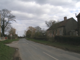
Oxton near Tadcaster, North Yorkshire
Oxton Lane/Slice Lane junction
Oxton near Tadcaster, North Yorkshire
Location and coordinates are for the approximate centre of Oxton within this administrative area. Geographic features and populated places may cross administrative borders.