-
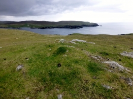
Wards of Mucklure
-
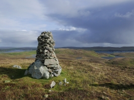
Cairn above Littlure
Wards of Mucklure
Cairn above Littlure
Location and coordinates are for the approximate centre of Outer Loch of Loomsdale within this administrative area. Geographic features and populated places may cross administrative borders.