-
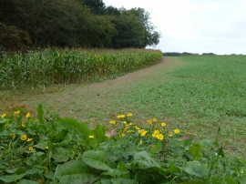
Maize crop next to Oulton Belt
-

Track to farmland west of Aylsham
Maize crop next to Oulton Belt
Track to farmland west of Aylsham
Location and coordinates are for the approximate centre of Oulton Belt within this administrative area. Geographic features and populated places may cross administrative borders.