-
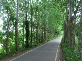
Canterbury Lane, Upchurch
-
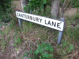
Vintage street nameplate, Canterbury Lane, Upchurch
Canterbury Lane, Upchurch
Vintage street nameplate, Canterbury Lane, Upchurch
Location and coordinates are for the approximate centre of Otterham Quay within this administrative area. Geographic features and populated places may cross administrative borders.