-
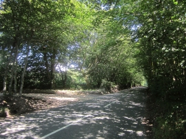
Trinity Hill Road
-
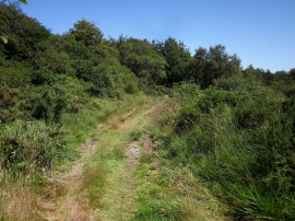
Trinity Hill Local Nature Reserve
Trinity Hill Road
Trinity Hill Local Nature Reserve
Location and coordinates are for the approximate centre of Orchard Wood within this administrative area. Geographic features and populated places may cross administrative borders.