-
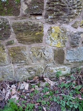
OS benchmark - Tong Lodge, Neachley Lane
-
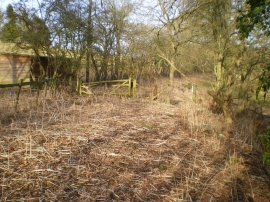
A little-used bridleway
OS benchmark - Tong Lodge, Neachley Lane
A little-used bridleway
Location and coordinates are for the approximate centre of Orchard Covert within this administrative area. Geographic features and populated places may cross administrative borders.