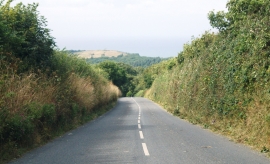
Oldpark Wood, Devon

« Gazetteer Entry
Upload Photo

Oldpark Wood, Devon

  • Parish/Community: Clovelly
  • District/Borough: Torridge
  • County: Devon
  • Region: South West
  • Category: Landcover
  • Type: Forest or Wood
  • Latitude/Longitude: 50°59'51"N 4°24'54"W
  • Eastings/Northings: 230627, 124799
  • OS Grid: SS306247
  • Mapcode Local: GBR K7.KKC9
  • Mapcode Global: FRA 16MG.ZQL

Location and coordinates are for the approximate centre of Oldpark Wood within this administrative area. Geographic features and populated places may cross administrative borders.

BritishPlaceNames.uk is a Good Stuff website.