-
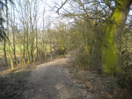
Bridleway south of Oldmoor Wood (2)
-
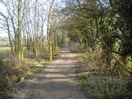
Bridleway south of Oldmoor Wood (1)
Bridleway south of Oldmoor Wood (2)
Bridleway south of Oldmoor Wood (1)
Location and coordinates are for the approximate centre of Oldmoor Wood within this administrative area. Geographic features and populated places may cross administrative borders.