-

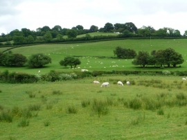
Sheep pasture in the valley of Dolgar Brook
-
Sheep fields, south of Birch House
Sheep pasture in the valley of Dolgar Brook
Sheep fields, south of Birch House
Location and coordinates are for the approximate centre of Old Hall Wood within this administrative area. Geographic features and populated places may cross administrative borders.