-
Breached Sea Wall
-
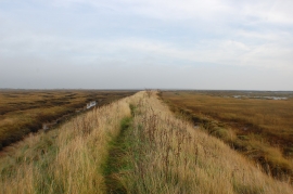
Old sea wall north of Tollesbury
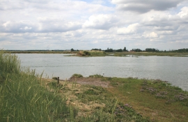
Breached Sea Wall
Old sea wall north of Tollesbury
Location and coordinates are for the approximate centre of Old Hall Creek within this administrative area. Geographic features and populated places may cross administrative borders.