-

View towards Weybourne windmill
-
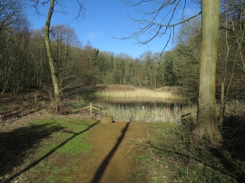
Pond in Sheringham Park
View towards Weybourne windmill
Pond in Sheringham Park
Location and coordinates are for the approximate centre of Old Game Bag Plantation within this administrative area. Geographic features and populated places may cross administrative borders.