-

Skelberry, Lunnasting
-
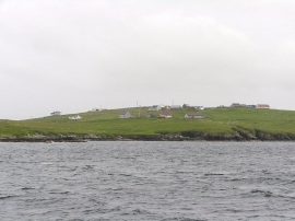
Skelberry, Vidlin
Skelberry, Lunnasting
Skelberry, Vidlin
Location and coordinates are for the approximate centre of Old Dyke-end within this administrative area. Geographic features and populated places may cross administrative borders.