-
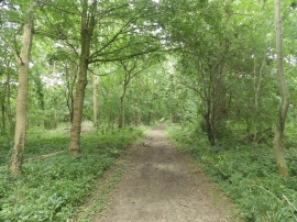
Looking Back Along Old Drive
-
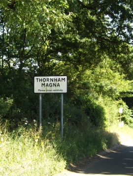
Thornham Magna Village Name sign on Thornham Road
Looking Back Along Old Drive
Thornham Magna Village Name sign on Thornham Road
Location and coordinates are for the approximate centre of Old Drive within this administrative area. Geographic features and populated places may cross administrative borders.