-
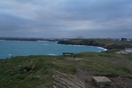
Newquay Bay from Towan Head
-
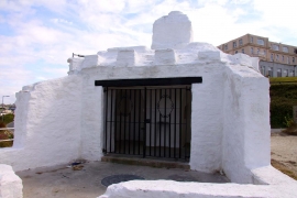
The front of the Huer's Hut
Newquay Bay from Towan Head
The front of the Huer's Hut
Location and coordinates are for the approximate centre of Old Dane within this administrative area. Geographic features and populated places may cross administrative borders.