-
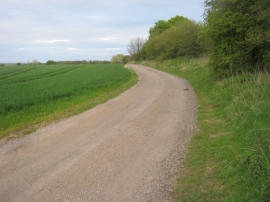
Footpath on track adjacent to a section of Stanwick Earthworks
-
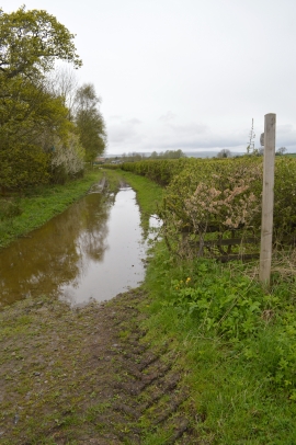
Brickkiln Lane to Tile Shed Farm
Footpath on track adjacent to a section of Stanwick Earthworks
Brickkiln Lane to Tile Shed Farm
Location and coordinates are for the approximate centre of Old Bye Plantation within this administrative area. Geographic features and populated places may cross administrative borders.