-
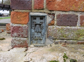
Ordnance Survey Flush Bracket G3137
-
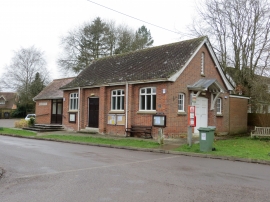
The Christie Hall in Old Alresford
Ordnance Survey Flush Bracket G3137
The Christie Hall in Old Alresford
Other current and historical names
Location and coordinates are for the approximate centre of Old Alresford within this administrative area. Geographic features and populated places may cross administrative borders.