-
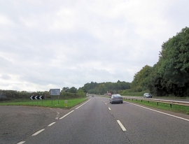
A380 south of Ugbrooke House
-
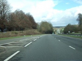
A380 approaching Ideford Dip
A380 south of Ugbrooke House
A380 approaching Ideford Dip
Location and coordinates are for the approximate centre of Olchard within this administrative area. Geographic features and populated places may cross administrative borders.