-
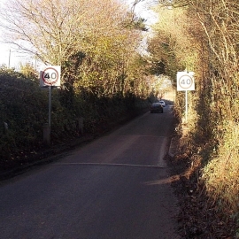
From 30 to 40 along Hindon Lane, Tisbury
-
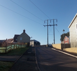
Wires over Grosvenor Drive, Tisbury
From 30 to 40 along Hindon Lane, Tisbury
Wires over Grosvenor Drive, Tisbury
Location and coordinates are for the approximate centre of Oddford Copse within this administrative area. Geographic features and populated places may cross administrative borders.