-
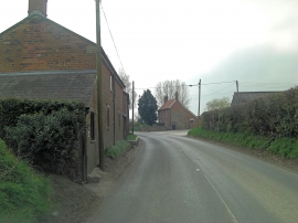
B3098 passes Goosehole Farm
-
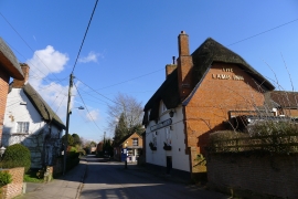
The Lamb Inn, Urchfont
B3098 passes Goosehole Farm
The Lamb Inn, Urchfont
Location and coordinates are for the approximate centre of Oakfrith Wood within this administrative area. Geographic features and populated places may cross administrative borders.