-

Trig point S6662 on Warden Hill
-
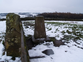
Trig point on Warden Hill in Winter
Trig point S6662 on Warden Hill
Trig point on Warden Hill in Winter
Location and coordinates are for the approximate centre of Oak Wood within this administrative area. Geographic features and populated places may cross administrative borders.