-
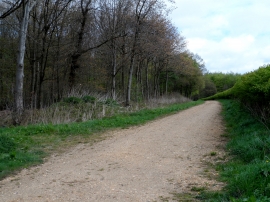
Start of forestry road used as permissive footpath
-
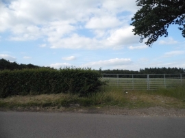
Field entrance by Bramfield Road
Start of forestry road used as permissive footpath
Field entrance by Bramfield Road
Location and coordinates are for the approximate centre of Oak Vale within this administrative area. Geographic features and populated places may cross administrative borders.