-
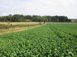
Field of oilseed rape and the boundary of Harmston Park
-

Thatched house on Harmston Park Avenue
Field of oilseed rape and the boundary of Harmston Park
Thatched house on Harmston Park Avenue
Location and coordinates are for the approximate centre of Oak Holt within this administrative area. Geographic features and populated places may cross administrative borders.