-
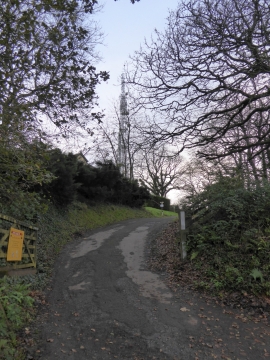
Drive to kennels on Beacon Hill, and communications mast
-
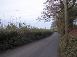
Totnes Road on Beacon Hill
Drive to kennels on Beacon Hill, and communications mast
Totnes Road on Beacon Hill
Location and coordinates are for the approximate centre of Oak End Wood within this administrative area. Geographic features and populated places may cross administrative borders.