-
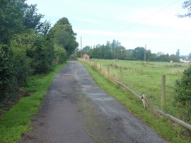
Bridleway and drive at Nurton Hill
-
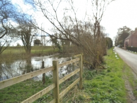
Nurton Pool
Bridleway and drive at Nurton Hill
Nurton Pool
Other current and historical names
Location and coordinates are for the approximate centre of Nurton Hill within this administrative area. Geographic features and populated places may cross administrative borders.