-

Junction of Park Lane and Sally Deards Lane
-
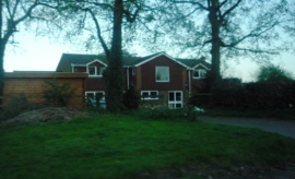
Driveway and house at Nup End Green
Junction of Park Lane and Sally Deards Lane
Driveway and house at Nup End Green
Other current and historical names
Location and coordinates are for the approximate centre of Nup End within this administrative area. Geographic features and populated places may cross administrative borders.