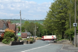
Norton Hill, Bath and North East Somerset

« Gazetteer Entry
Upload Photo

Norton Hill, Bath and North East Somerset

  • Built-Up Area: Midsomer Norton
  • Parish/Community: Midsomer Norton
  • Unitary Authority: Bath and North East Somerset
  • Region: South West
  • Category: Populated Place
  • Type: Suburban Area
  • Latitude/Longitude: 51°16'48"N 2°28'39"W
  • Eastings/Northings: 366781, 153563
  • OS Grid: ST667535
  • Mapcode Local: GBR JW.ZPGD
  • Mapcode Global: VH89P.02JX

Location and coordinates are for the approximate centre of Norton Hill within this administrative area. Geographic features and populated places may cross administrative borders.

BritishPlaceNames.uk is a Good Stuff website.