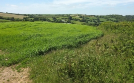
Northpark Copse, Devon

« Gazetteer Entry
Upload Photo

Northpark Copse, Devon

  • Parish/Community: Strete
  • District/Borough: South Hams
  • County: Devon
  • Region: South West
  • Category: Landcover
  • Type: Forest or Wood
  • Latitude/Longitude: 50°19'25"N 3°39'40"W
  • Eastings/Northings: 281835, 48414
  • OS Grid: SX818484
  • Mapcode Local: GBR QP.711M
  • Mapcode Global: FRA 3865.RF2

Location and coordinates are for the approximate centre of Northpark Copse within this administrative area. Geographic features and populated places may cross administrative borders.

BritishPlaceNames.uk is a Good Stuff website.