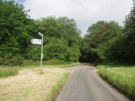
Northend, Buckinghamshire

« Gazetteer Entry
Upload Photo

Northend, Buckinghamshire

  • Parish/Community: Turville
  • District/Borough: Wycombe
  • County: Buckinghamshire
  • Region: South East
  • Category: Populated Place
  • Type: Village
  • Latitude/Longitude: 51°37'38"N 0°56'25"W
  • Eastings/Northings: 473444, 192609
  • OS Grid: SU734926
  • Mapcode Local: GBR C3K.WLV
  • Mapcode Global: VHDW1.NC66

Location and coordinates are for the approximate centre of Northend within this administrative area. Geographic features and populated places may cross administrative borders.

BritishPlaceNames.uk is a Good Stuff website.