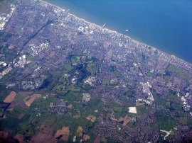
Normoss, Lancashire

« Gazetteer Entry
Upload Photo

Normoss, Lancashire

  • Parish/Community: Staining
  • District/Borough: Fylde
  • County: Lancashire
  • Region: North West
  • Category: Populated Place
  • Type: Other Settlement
  • Latitude/Longitude: 53°49'46"N 2°59'47"W
  • Eastings/Northings: 334500, 437500
  • OS Grid: SD345375
  • Mapcode Local: GBR ZXN.T8
  • Mapcode Global: WH858.Y06G

Location and coordinates are for the approximate centre of Normoss within this administrative area. Geographic features and populated places may cross administrative borders.

BritishPlaceNames.uk is a Good Stuff website.