-
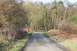
Bend on Station Road
-
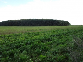
Norbury Hills
Bend on Station Road
Norbury Hills
Location and coordinates are for the approximate centre of Norbury Hills within this administrative area. Geographic features and populated places may cross administrative borders.