-
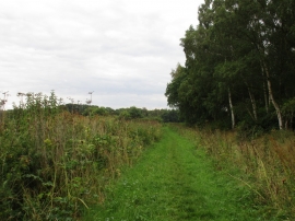
Bridleway from Green Lane to Wasps Nest (2)
-
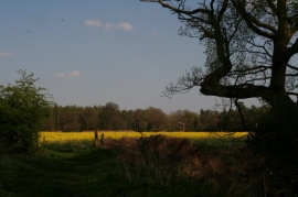
Bridleway to Wasps Nest
Bridleway from Green Lane to Wasps Nest (2)
Bridleway to Wasps Nest
Location and coordinates are for the approximate centre of Nocton Wood within this administrative area. Geographic features and populated places may cross administrative borders.