-

The Badger, New Ash Green
-
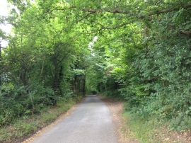
Hartley Bottom Road, near New Ash Green
The Badger, New Ash Green
Hartley Bottom Road, near New Ash Green
Location and coordinates are for the approximate centre of Nine Horse Wood within this administrative area. Geographic features and populated places may cross administrative borders.