-
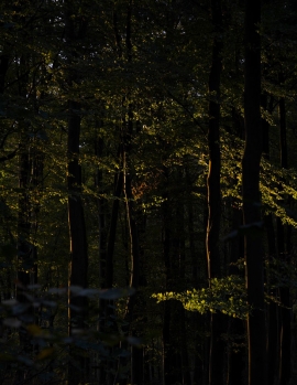
Evening light filtering through beeches near Mapledurham, Oxfordshire
-
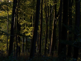
Evening light filtering through Bottom Wood, near Mapledurham, Oxfordshire
Evening light filtering through beeches near Mapledurham, Oxfordshire
Evening light filtering through Bottom Wood, near Mapledurham, Oxfordshire
Location and coordinates are for the approximate centre of Nine Acre within this administrative area. Geographic features and populated places may cross administrative borders.