-
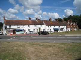
Houses on The Green
-
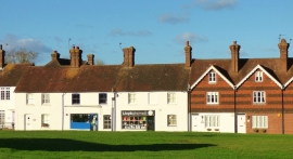
Cottages, The Green, Newick
Houses on The Green
Cottages, The Green, Newick
Location and coordinates are for the approximate centre of Newick within this administrative area. Geographic features and populated places may cross administrative borders.