-

Post and rail replacing drystone wall
-
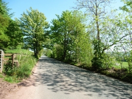
Froghall Road
Post and rail replacing drystone wall
Froghall Road
Location and coordinates are for the approximate centre of Newhouse Wood within this administrative area. Geographic features and populated places may cross administrative borders.