-
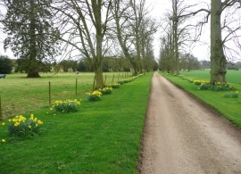
On the Little Offley driveway
-
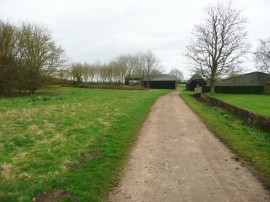
Track at Little Offley
On the Little Offley driveway
Track at Little Offley
Location and coordinates are for the approximate centre of Newfield Wood within this administrative area. Geographic features and populated places may cross administrative borders.