-
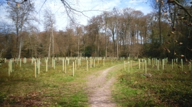
New Trees in Bardolph's Wood
-
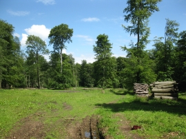
Sunny glade at Newell's Wood
New Trees in Bardolph's Wood
Sunny glade at Newell's Wood
Location and coordinates are for the approximate centre of Newell's Wood within this administrative area. Geographic features and populated places may cross administrative borders.