-
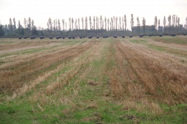
Neatly stacked bales at Ryefield Farm
-
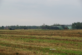
Cadishead Moss
Neatly stacked bales at Ryefield Farm
Cadishead Moss
Location and coordinates are for the approximate centre of New Moss Wood within this administrative area. Geographic features and populated places may cross administrative borders.