-
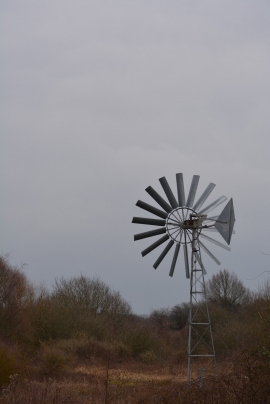
A windpump at Brandon Marsh nature reserve
-
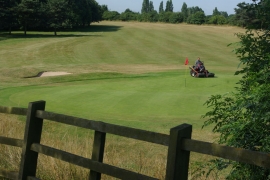
Brandon Wood Golf Course
A windpump at Brandon Marsh nature reserve
Brandon Wood Golf Course
Location and coordinates are for the approximate centre of New Hare Covert within this administrative area. Geographic features and populated places may cross administrative borders.