-
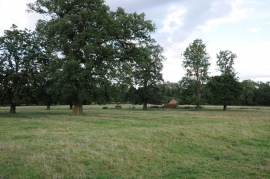
Parkland at Stanford Hall
-
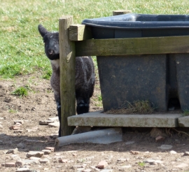
Lamb south of Rugby Road
Parkland at Stanford Hall
Lamb south of Rugby Road
Location and coordinates are for the approximate centre of New Gravel Hill Spinney within this administrative area. Geographic features and populated places may cross administrative borders.