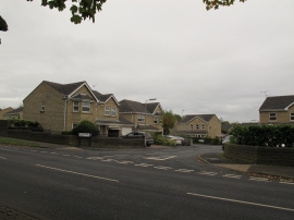
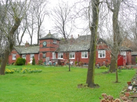
New Farnley, Leeds

« Gazetteer Entry
Upload Photo

New Farnley, Leeds

Other current and historical names

  • Farnley, New
  • Built-Up Area: Leeds
  • Parish/Community: Leeds, unparished area
  • Unitary Authority: Leeds
  • Region: Yorkshire and The Humber
  • Category: Populated Place
  • Type: Suburban Area
  • Latitude/Longitude: 53°46'40"N 1°37'21"W
  • Eastings/Northings: 424970, 431338
  • OS Grid: SE249313
  • Mapcode Local: GBR B0T.4K
  • Mapcode Global: WHC9K.19MQ

Location and coordinates are for the approximate centre of New Farnley within this administrative area. Geographic features and populated places may cross administrative borders.

BritishPlaceNames.uk is a Good Stuff website.