-
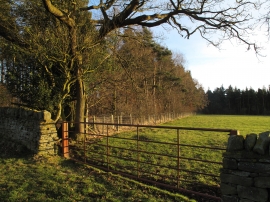
Woodland edge south of 'New Belt'
-
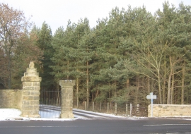
Bridleway entrance from Sloshes Lane Etherley County Durham
Woodland edge south of 'New Belt'
Bridleway entrance from Sloshes Lane Etherley County Durham
Location and coordinates are for the approximate centre of New Carriage Drive Plantations within this administrative area. Geographic features and populated places may cross administrative borders.