-
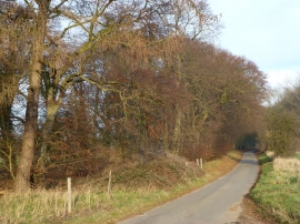
Country lane to Little Massingham, Norfolk
-
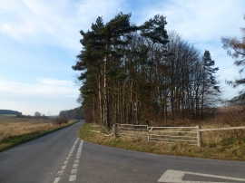
Trees on Massingham Road
Country lane to Little Massingham, Norfolk
Trees on Massingham Road
Location and coordinates are for the approximate centre of New Belt within this administrative area. Geographic features and populated places may cross administrative borders.